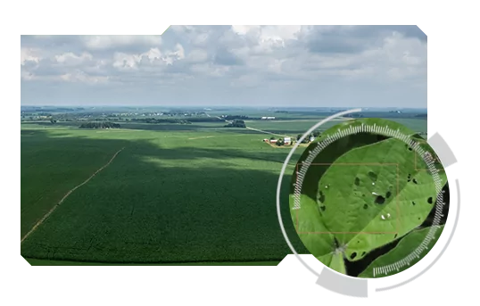
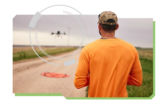
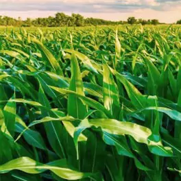
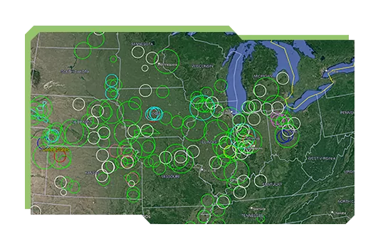
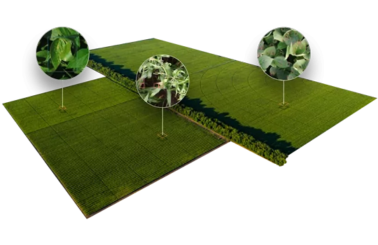
Highly precise data allows for high quality, real-time insights that help you engage growers with confidence and build lasting relationships.
A picture is worth a thousand words. When we say we can read your business card from the sky, we mean it. So clear, you can distinguish different insects, weed species, diseases, and nutrient deficiencies.
Professionally and reliably conducted missions ensure timely delivery, as we factor in crop type, growth stage, weather, and inputs. Executing missions at scale is integral to delivering powerful insights.
Our professional operational team is supported by a large network of service providers and robust systems to ensure timely dispatch and quality acquisition. Our process ensure that every field is imaged at high level of quality and transformed into valuable insights quickly.
Taranis created a large professional network that ensures acquisition of insights, no matter where crops are grown. We source, train, and deploy drone professionals at the national and local level, which is how we service millions of acres, year-round.
Taranis uses off-the-shelf enterprise-level drones. Using our custom flight app, drone pilots execute each flight based on the optimal predefined route, ensuring the whole field is serviced.
To complement the submillimeter images, we acquire data from satellite imagery providers, including Planet and Sentinel. The imagery is gathered based on the frequency and availability offered by the provider.
Satellite images and our AI capabilities generate field health index, which identifies anomalies within the field. Fortunately, with our leaf-level insights you can digitally ground truth these anomalies with ease.