KNOWLEDGE CENTER
MARKETING PORTAL
LOGIN
IOS
ANDROID
CONTACT US
SOLUTIONS
For Advisors
For Growers
For Partners
Conservation Services
Service Plans
HOW IT WORKS
Onboarding
Leaf-level Acquisition
Acre Analysis
Action & Engagement
Insight Gallery
Interactive Experience
SUCCESS
Customer Success
Testimonials
Value Stories
RESOURCES
Blog
Newsroom
The .SHP of Ag
Events & Webinars
AcreForward Podcast
ABOUT US
Our Story
Leadership
Sustainability
Media Kit
Flight Operations
Taranis Careers
GET A DEMO
November 17, 2022
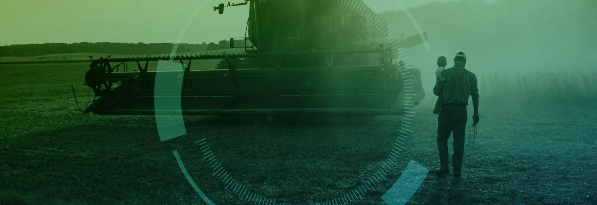
How Indiana-based Taranis Uses Satellites and Drones to Help Improve Yields
Back
November 17, 2022
RELATED ARTICLES
Get the latest updates from Taranis
SOLUTIONS
For Advisors
For Growers
For Partners
Conservation Services
Service Plans
HOW IT WORKS
Onboarding
Leaf-level Acquisition
Acre Analysis
Action & Engagement
Insight Gallery
Interactive Experience
SUCCESS
Customer Success
Testimonials
Value Stories
RESOURCES
Blog
Newsroom
The .SHP of Ag
Events & Webinars
AcreForward Podcast
ABOUT US
Our Story
Leadership
Sustainability
Media Kit
Flight Operations
Taranis Careers
KNOWLEDGE CENTER
MARKETING PORTAL
LOGIN
IOS
ANDROID
CONTACT US