
DATE | May 2024
LOCATION | Northern Michigan
AGRONOMIST | Kerrek Griffes
GROWER | Sylvester Farms
CROP | Soybeans
THREAT | Stand Count
MISSION | 1 2 3 4 5 6
“So I thought this was somewhat interesting. This is a field of Sylvesters that is one of my favorites of his due to the fact it is essentially “beach sand”. This field is actually located right where the shoreline of the bay was probably thousands of years ago so there is always some strange stuff that happens here!”
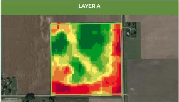
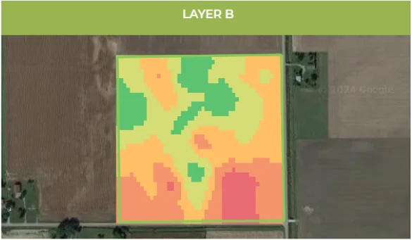
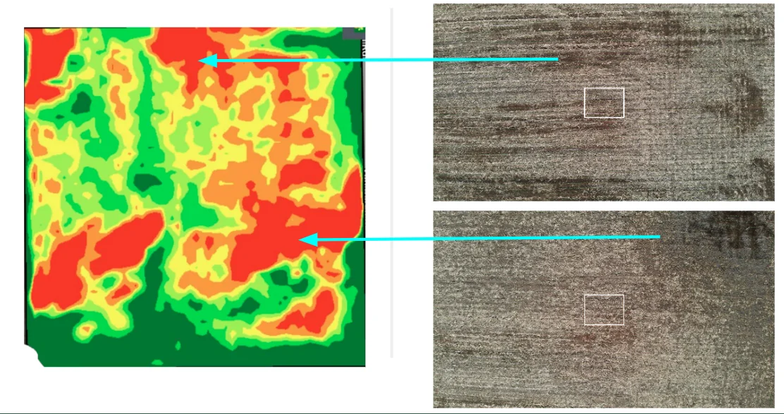
“I have included the NDVI imagery, the prescription map that we created in Echelon (Layer A) and the Taranis “heat map” from the Stand Count flight (Layer B) that was flown to compare more layers at once.”
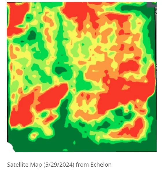
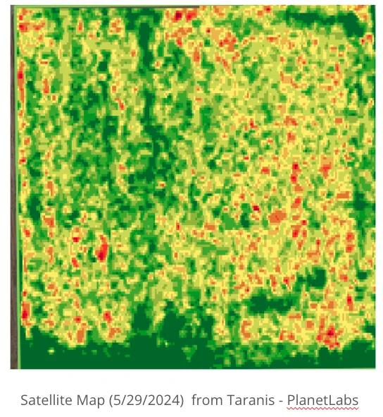
“I thought it was interesting that the NDVI image really doesn’t give much insight but Taranis does let me know that the growers planted the field exactly the way the VRT was designed. I have been a huge fan of NDVI for a long time and felt that many times at “peak biomass” it tells a more accurate story than a yield map. But early I felt it doesn’t help much, and this is proof. The drone images give us another layer of insight for sure. What do we do with it though?”
“Satellite imagery that is usually used to scout fields is hard because it is open all to interpretation. The imagery is taking the darker more saturated soils and reflecting what could be perceived as a concerning spot in the field. But in reality, when you compare Taranis as counted to the growers prescription map of as planted, you are able to see that we are right on target for this field and that there is nothing really concerning here. Even the weed pressure is under control at 0.17%.”
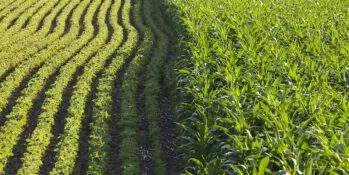
See how this Wisconsin grower's field enrolled in the NCGA contest was able to leverage his advisor's timely recommendation to replant part of the field, based on Taranis stand count insights.